

01Alerts in an inbox
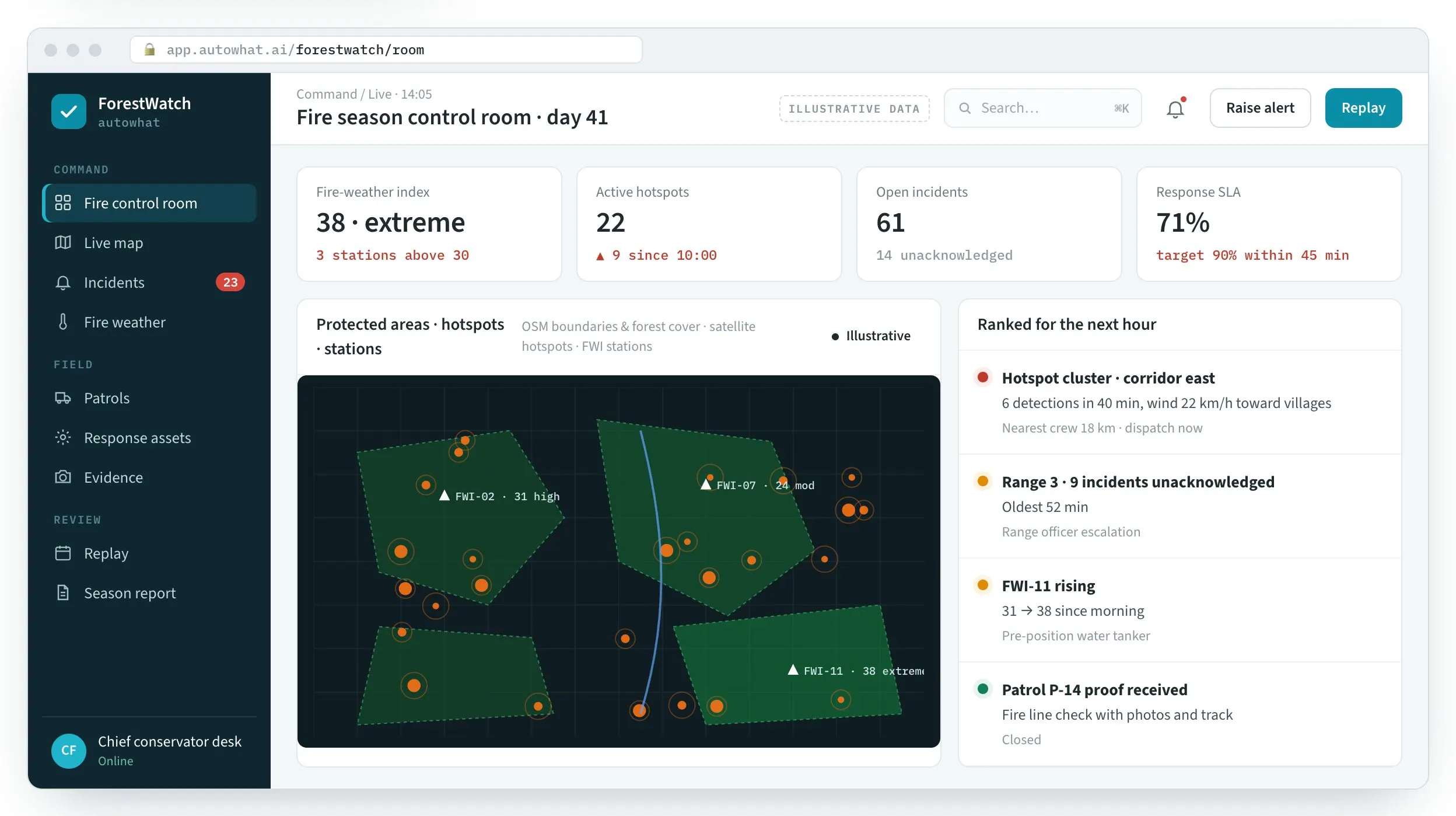
Every hotspot on one map, ranked for the next hour.
- Fire-weather, wind and fuel attached to each detection
- Settlements and corridors in the path raise the rank
The worst fire is always first

OperationsForestWatch · forest fire & field control room
For forest departments and conservators. Protected-area maps, satellite hotspots, fire-weather stations, ranger reports and response crews on one screen — ranked by spread risk and the people and wildlife in the way.
WhySound familiar?
From conservators, divisional forest officers and range officers. Composite quotes from discovery calls — the problems are real; the names are left out.

“The satellite alert sat in an inbox for an hour.”
Detections, ranger photos and crew positions live on different screens, so nobody sees them together.
ConservatorResponse measured in hours
“Our rangers report in five chat groups.”
A photo of smoke scrolls away under greetings and forwards; there is no incident, no owner, no clock.
Range officerReports that get lost
“At the season review we rebuild everything from memory.”
Patrols, response times and hectares are reconstructed after the fact, so lessons are guesses.
Divisional forest officerNo evidence for the review
HowWhat changes with ForestWatch
Product screens with illustrative data. In a briefing we replay one of your past fires.
01Alerts in an inbox
The worst fire is always first
02Chat-group reports
Every report has an owner and a clock

03Memory at review
Lessons from evidence

FieldForestWatch in the field
The workplace it runs in, the person who uses it on a phone, the team at the desk and the detail it reads.
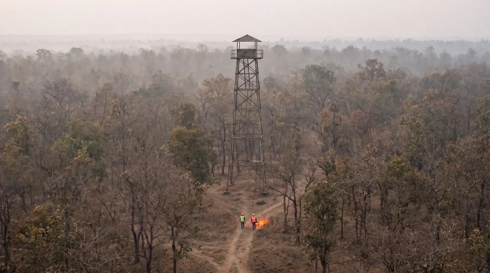
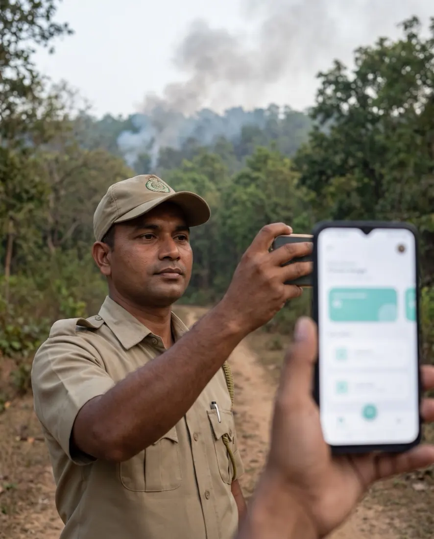
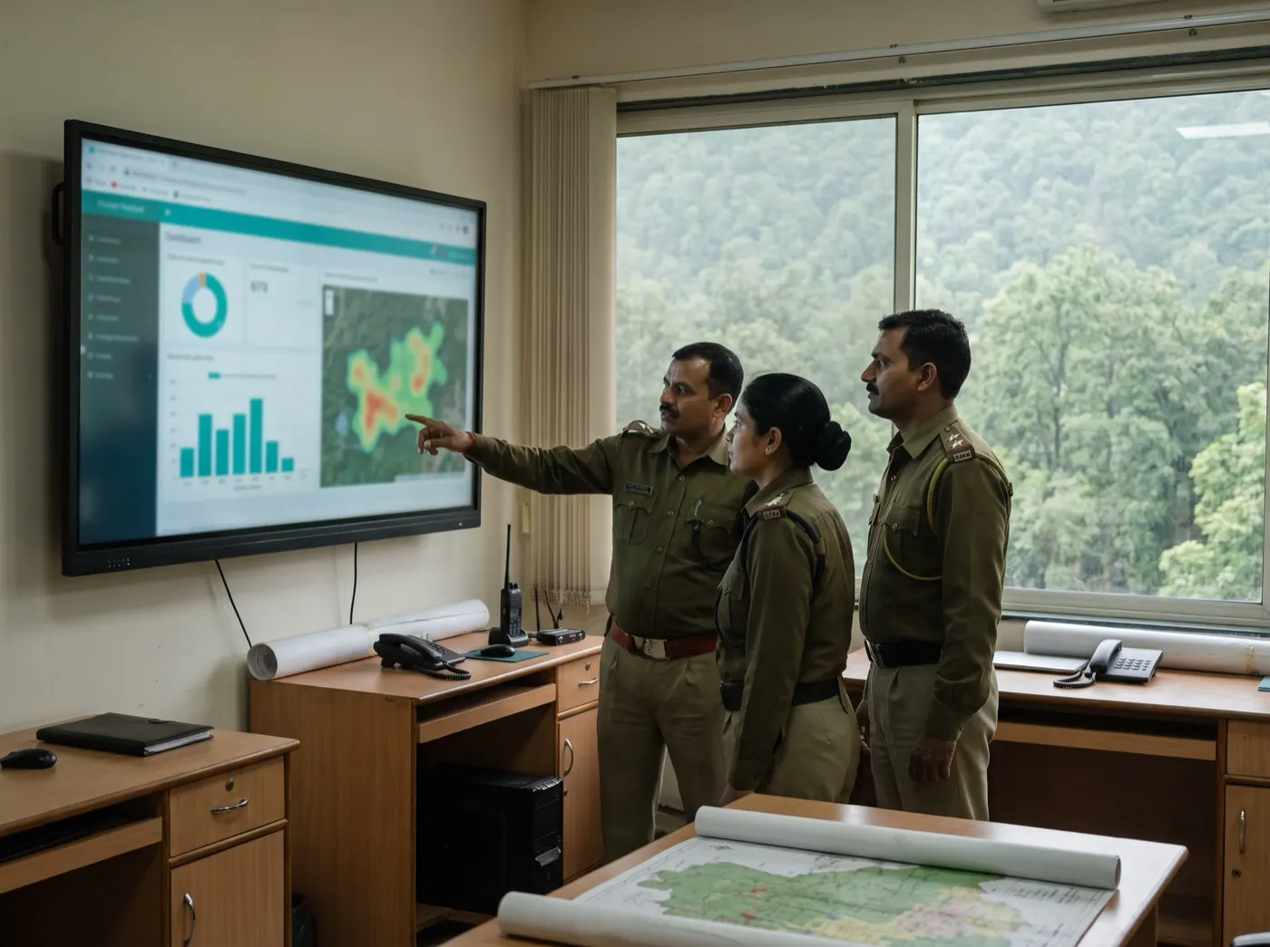
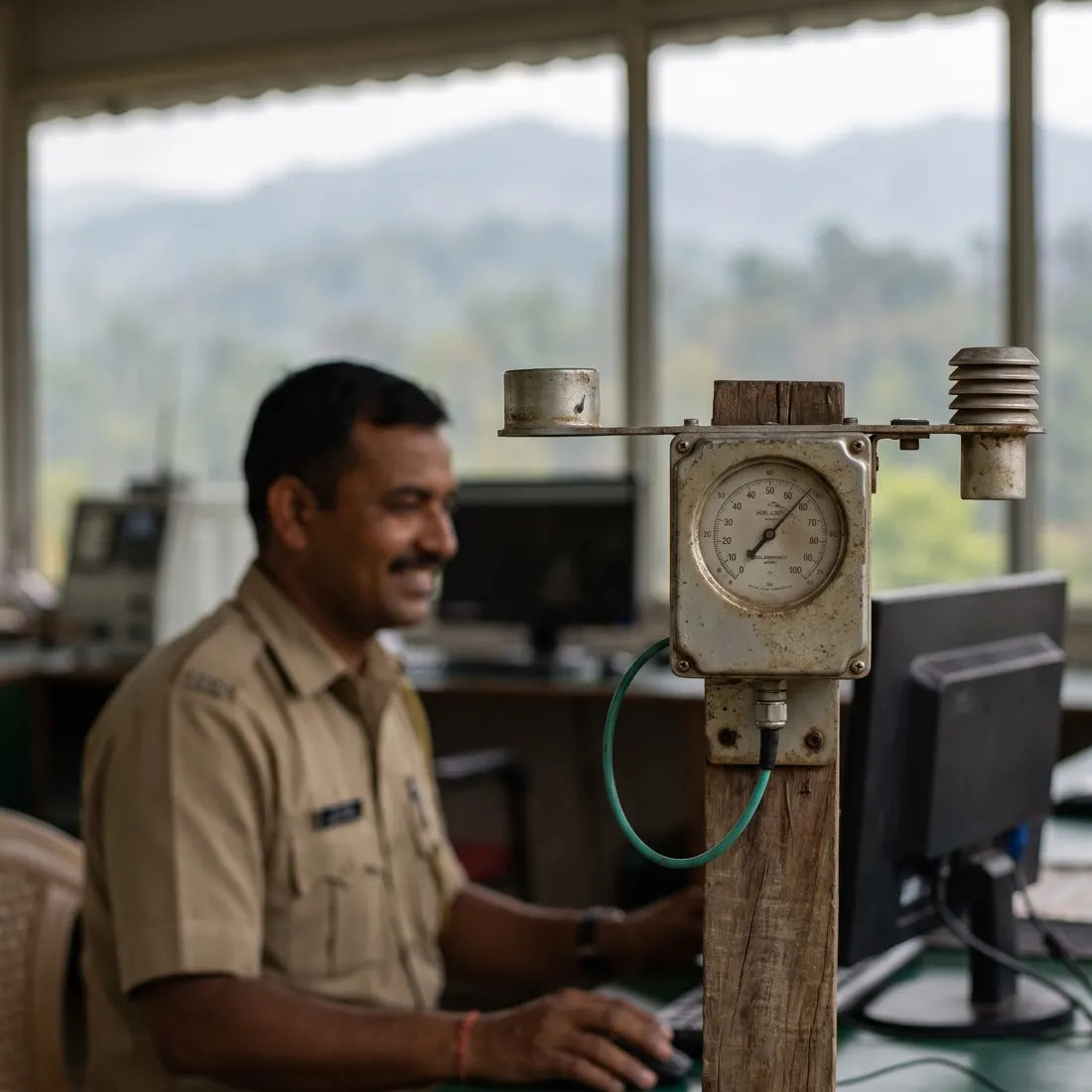
Photographs are illustrative — real customer sites are not shown.
01The screens
The control room, the incident queue, the replay and ranger intake on WhatsApp.
Protected areas, hotspots and fire-weather stations — ranked for the next hour.
Product screens with illustrative data — every name, place and figure is a placeholder.
02Before and after
Detections, ranger photos and crews already exist — on different screens and different clocks.
| Area | Today | With ForestWatch |
|---|---|---|
| Detection | Satellite alert in an inbox | Hotspot on the map, ranked by spread risk |
| Field reports | Photos in a chat group | Located incidents with an owner and an SLA |
| Dispatch | Phone calls | Nearest crew assigned, ETA tracked |
| Patrols | Claimed in a register | GPS track and photos per patrol |
| Review | Season reconstructed at the end | Replay and running season report |
03One picture
The ranked queue weighs fire weather, fuel, wind, people at risk and SLA age — the same way every time.
Satellite · towers
Hotspot passes and watch-tower reports land on the map within minutes.
Fire weather
Fire-weather index by station, wind and fuel load attached to each detection.
Ranger intake
Photos and voice notes on WhatsApp become located incidents.
Spread risk
Incidents ranked by spread risk, settlements, corridors and SLA age.
Crews & assets
Nearest crew, tanker or blower assigned with ETA.
Evidence
Fire-line photos, tracks and containment confirmed on the record.
After-action
Every fire replayed, with who knew what and when.
Season pack
Incidents, response times, hectares and patrol coverage — always current.
04The platform
Fire season first; encroachment, wildlife conflict and felling run on the same room.
05How we deliver
Built on your divisions, ranges and crews.
FAQQuestions we get about ForestWatch
ForestWatch is a fire-season control room for forest departments. Short, factual answers for buyers, procurement and the assistants people ask first.
In short. ForestWatch is a fire-season control room for forest departments. It is built for conservators, divisional forest officers and range officers. It exists to remove the problems those teams describe in almost every first conversation: satellite alerts that sit in an inbox; ranger photos lost in chat groups; and season reviews rebuilt from memory. With ForestWatch, teams get hotspots ranked by fire weather, wind, fuel and people in the path, ranger photos become located incidents with a dispatched crew, and replay of every fire and a running season report. It connects to Satellite hotspots, Fire-weather stations, Protected-area GIS and WhatsApp intake, is used by Conservators · DFOs · rangers · crews, and runs on web + whatsapp. Like every Autowhat AI product, ForestWatch goes live on one site, lane or process first, usually within weeks, on managed cloud, in your own VPC or on-premises, and shares one operational record with the other products, so the second deployment reuses the data and integrations of the first.
Conservators, divisional forest officers and range officers. A fire-season control room for forest departments.
satellite alerts that sit in an inbox; ranger photos lost in chat groups; season reviews rebuilt from memory.
hotspots ranked by fire weather, wind, fuel and people in the path; ranger photos become located incidents with a dispatched crew; replay of every fire and a running season report.
It connects to Satellite hotspots, Fire-weather stations, Protected-area GIS, WhatsApp intake. Users: Conservators · DFOs · rangers · crews. Channel: Web + WhatsApp.
With a 30-minute working session on your own data — an engineer from the relevant sector, not a sales queue. The first wave is scoped in that call; most products go live on one site, lane or process within weeks and then scale.
On managed cloud, in your own VPC (AWS, Azure or GCP) or on-premises, with your keys. SOC 2 Type II and ISO 27001 controls, India data residency when required, and local or open-weight models when policy demands it. The data stays yours.
06Briefing
A working session: your divisions mapped, one past fire replayed, and the response time you could have had.