

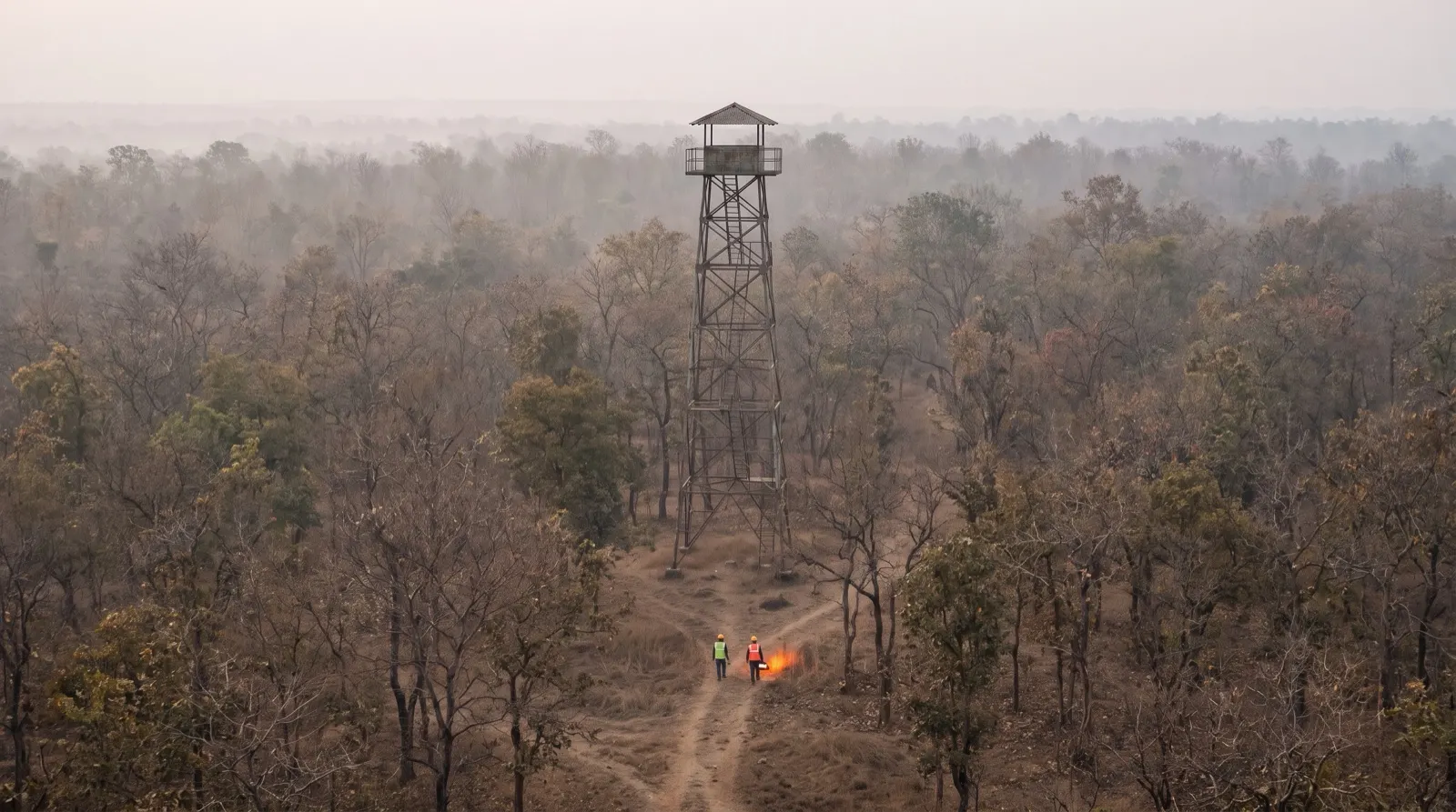
Six in the morning in a range office in March. The window is open and the air already feels thin. Yesterday afternoon the humidity dropped, the wind turned westerly, and nobody has seen rain since early February. The range officer knows today is worse than yesterday. What she cannot say is how much worse, or whether the next range over feels the same.
A forest fire danger rating system answers that question in a number: it turns weather, fuel dryness and terrain into a danger level for an area, before any fire starts. Our view is that the rating is only worth having if it changes what crews do that day. In a forest fire monitoring system with a ranked incident queue, it should move patrols in the morning and move fires up the queue in the afternoon.
A danger rating measures what a fire would do, not whether one exists
People often confuse three different things. Detection tells you a fire is burning now. A satellite hotspot or a watch-tower call is detection. Danger rating tells you how easily a fire would start and how fast it would spread if it did. Risk adds what is exposed: villages, plantations, wildlife corridors.
So a high danger day with no fires is not a quiet day. It is a day when any fire that does start will be harder to stop. That is exactly when crews should already be in position, not waiting for the first alert. The rating is a forecast of behaviour, and it earns its keep before the smoke appears.
Four weather readings do most of the work
Most danger rating systems start from a short list of daily readings at a weather station. The widely used fire weather index approach, developed in Canada and adapted in many countries, is built from noon temperature, relative humidity, wind speed and rainfall over the past 24 hours.
| Input | What it tells you |
|---|---|
| Temperature | Hotter air dries fine fuels such as leaf litter and grass faster |
| Relative humidity | Dry air pulls moisture out of fuel within hours |
| Wind speed | Pushes flames into new fuel and carries embers ahead of the fire |
| Rainfall in the last 24 hours | Resets surface fuels; a long dry spell lets deeper layers dry out too |
From these readings the system tracks fuel moisture in layers. Fine surface litter responds within a day. The thicker organic layer below takes longer. Deep, slow-drying material reflects a long drought. The layers combine into indices for how fast a fire would spread and how much fuel it could burn, and finally into a single fire weather index.
That last number is then mapped to classes such as low, moderate, high, very high and extreme. The class boundaries are set locally, because a reading that means danger in one forest type can be ordinary in another. We do not suggest thresholds here. They should come from your department and your own fire history.
In Indian forests, the dry season makes the rating move fast
For much of India, fire season runs through the dry months before the monsoon. Leaf fall in deciduous forests piles fresh litter on the floor just as humidity drops. A few hot, windy days can carry a division from moderate to very high in a few days.
Terrain matters as much as weather. Fire runs uphill faster, and many divisions have villages sitting above or below forested slopes. Fuel varies too. A teak or sal patch with heavy litter behaves very differently from a cleared fire line. A station reading cannot see any of that, which is why the rating should be read alongside fuel and settlement maps, not in place of them.
A rating earns its keep when it moves patrols in the morning
Here is an illustrative example, with invented round numbers, to show the arithmetic. Say a division has 12 patrol teams and four ranges. Without a rating, each range gets three teams, every day, all season.
Now give each range a daily danger class from 1 (low) to 5 (extreme). Today Range A reads 5, Range B reads 4, Range C reads 2 and Range D reads 1. The classes add up to 12. Share the teams in proportion: A gets 12 × 5 ÷ 12 = 5 teams, B gets 4, C gets 2 and D gets 1.
Range A now has five teams instead of three on its worst day. Range D, which is unlikely to see a fast fire, gives up two teams it would have spent walking damp ground. No new staff were hired. The same 12 teams simply stand where a fire would hurt most. When the classes change, so does the split.
A danger rating that does not change where a single crew stands this morning is a weather report, not a fire tool.
In practice nobody follows a formula blindly. A range with a festival, a road-building camp or a history of grazing fires may deserve an extra team whatever the rating says. The point is that the starting split comes from the day's danger, and departures from it are deliberate.
In the afternoon, the rating should move fires up the queue
Once fires start, the same reading has a second job. Two hotspots that look identical on a map are not equal if one sits in a very high danger area and the other in a moderate one. The first will grow faster, so it deserves attention first.
That is how we built ForestWatch. Each detection carries the fire-weather index for its station, along with wind and fuel load. A higher fire-weather reading moves that fire up the queue, and settlements and wildlife corridors in the path raise it further. The reasoning behind that queue is in our post on ranking forest fires by spread risk, and the detection side is covered in using satellite hotspot alerts well.
The case against trusting a single number
The strongest objection is that a danger rating is too coarse to act on. One weather station may represent a huge area. It may sit in a valley town while the fire risk lives on an exposed ridge 30 kilometres away. Fuel maps age. And an index designed for one country's forests may not fit dry deciduous forest on a laterite plateau.
There is a human problem too. If the board reads very high for most of the season, people stop seeing it. A rating that is always red teaches crews to ignore red.
We take both points seriously. Treat the rating as relative within your own division: which range is worse than the others today, not whether the absolute number is alarming. Note which ranges have no nearby station, and lean harder on local knowledge there. After the season, compare the daily classes with where fires actually started and how far they ran. If the two disagree, adjust the class boundaries. A rating calibrated on your own fires beats one borrowed unchanged from elsewhere.
And keep the officer in charge. The rating suggests where to look and where to stand. It does not decide dispatch on its own.
What to do this week
- List every weather station that covers your division, and mark the ranges with no station within reasonable distance.
- Check which daily readings each station reports: temperature, humidity, wind and rainfall at minimum.
- Write down how patrol teams are split across ranges today, and whether that split ever changes with the weather.
- Pull last season's fire dates and locations, and set them beside the weather of those days to see which conditions preceded the bad ones.
- Agree one simple rule for moving teams on high danger days, and try it for the first fortnight of the season.
A danger rating will not put out a fire. It does let a thinly staffed division stand in the right place before the first call comes. For the wider pre-season list, see our forest fire season preparedness checklist, and browse the rest of our forest fire guides and tools.